

Open-source software &
research for civic data.
Python for NYC civic data — 311, subway accessibility, shared geography — and reproducible-research tooling for causal / econometric work that generalizes beyond the city.
Toolkits
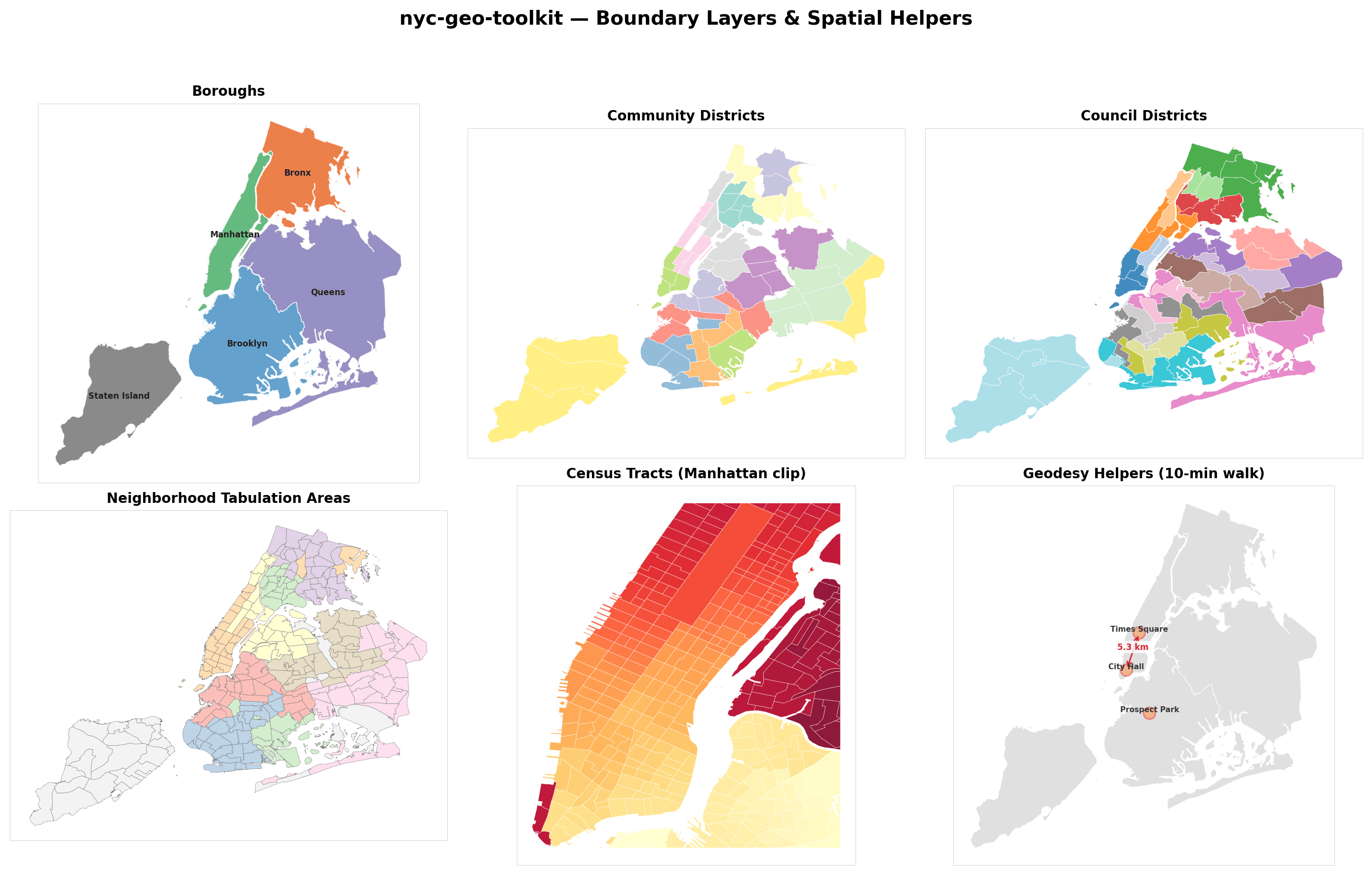
NYC civic data
311, transit, geography — shared boundaries, domain pipelines, case studies


Featured
Rat Containerization and Complaint Volume: Did NYC's Mandatory Bin Rollout Causally Reduce Rodent Sightings?
Did NYC's trash-bin containerization reduce rats? Staggered DiD across the 2023 pilot and 2024 citywide rollout finds roughly 12 fewer 311 rat complaints per neighborhood per month, corroborated by DOHMH inspections.
Staggered DiDTWFECallaway-Sant'AnnaSun-AbrahamBorusyak-Jaravel-SpiessSynthetic ControlParallel TrendsMDE / PowerBH CorrectionMoran's IRDDfactor-factoryjellycellnyc311
Research
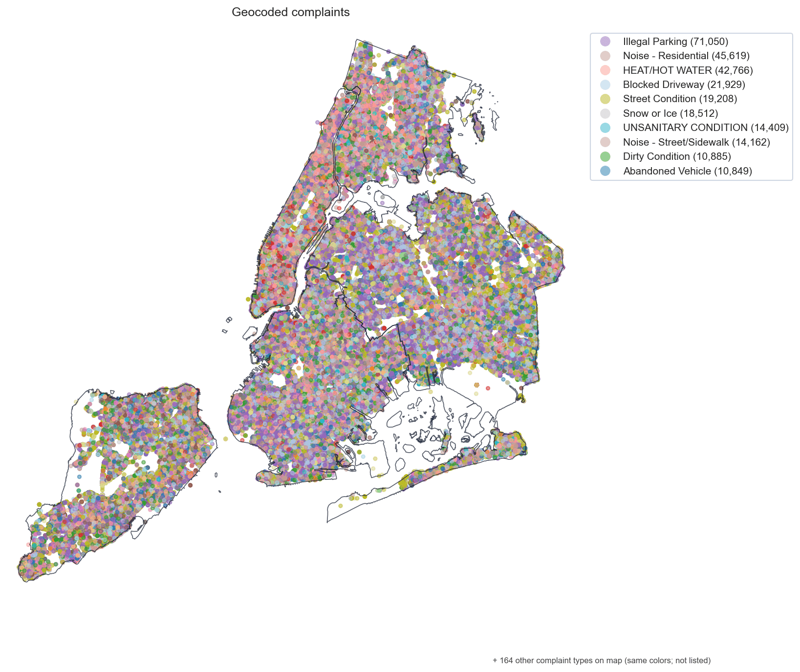
AllNoise Complaints in Five Boroughs: Is Resolution Time Equitable Across NYC's Demographic Geography?
Are NYC 311 noise complaints resolved equitably across demographic geography? A community-board panel finds the Bronx resolves ~65 hours faster than Manhattan, with ~91% of the gap sitting within boroughs.
/nyc311
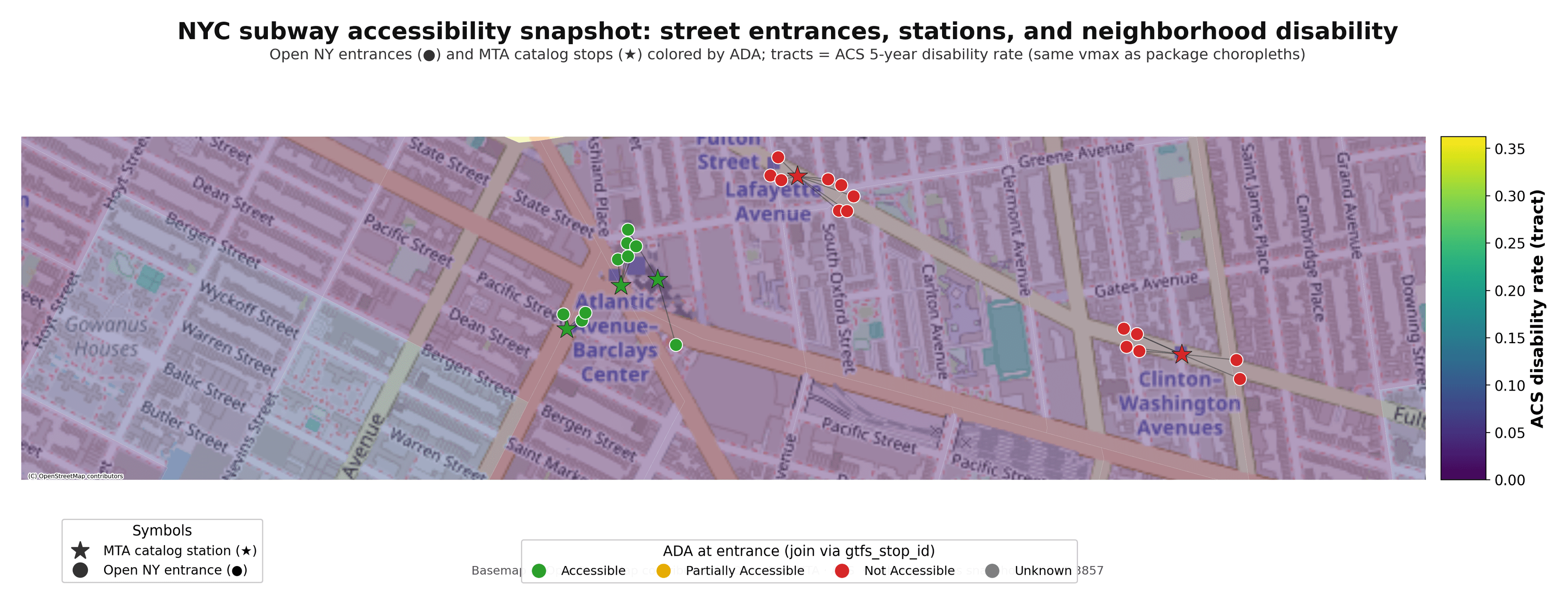
NYC Subway Accessibility, Mapped: Gallery and Engine Cross-Walk for the subway-access Study
Only 157 of NYC's 493 subway stations are ADA-accessible, leaving ~4.7 million New Yorkers outside walking distance of one — and elevator downtime erodes even that. A gallery + cross-walk for the subway-access study.
/subway-access
